Architectural Design
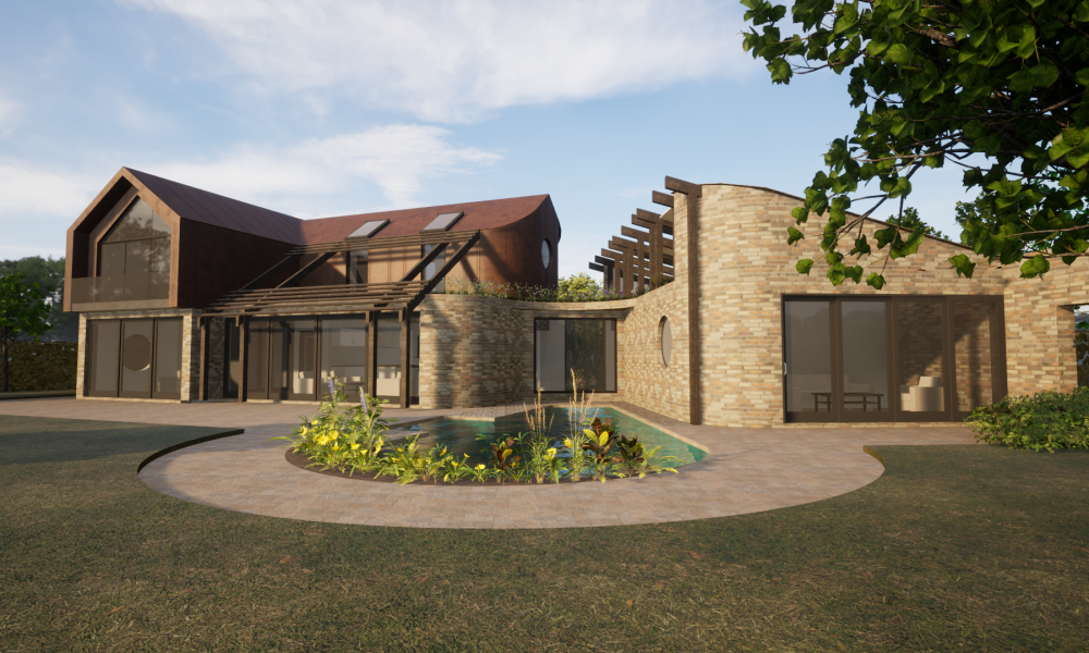
Whether we are undertaking new builds, conversions, restorations, extensions, refurbishments or conservation, we work across the UK bringing our expertise to deliver high quality projects and offering bespoke design solutions.

Whether we are undertaking new builds, conversions, restorations, extensions, refurbishments or conservation, we work across the UK bringing our expertise to deliver high quality projects and offering bespoke design solutions.

Including:
Project Management
Quantity Surveying
Contract Administrator
Employer's Agent
Development Monitoring
Principal Designer
Including: